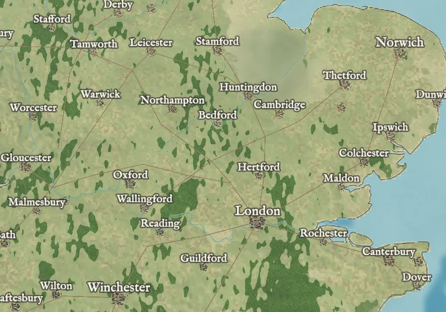
The world map is up. It shows the relief and sea depth of the whole globe, coasts, lakes and rivers, and the vegetation of around the year 1000, worked out from a simple climate model.
About 250 realms, vassals and peoples hold the land, with borders that settle on mountains, deserts and narrow seas, and about 680 cities and towns are linked by their main routes. The British Isles are mapped in full, with some 13,000 settlements, strip fields, woods, fens and Roman roads. Zoom in, and trees, buildings and village names stream in until you're looking at a single village.